In our second post on the Fife Coastal Path we’re having a look at the section from St Monans along to Crail, which is nice easy walking and takes in some of the prettiest East Neuk fishing villages. A day bus ticket from St Andrews will allow you to start at St Monans and then pick up a return bus from Crail, or at an earlier point along the route if you wish.
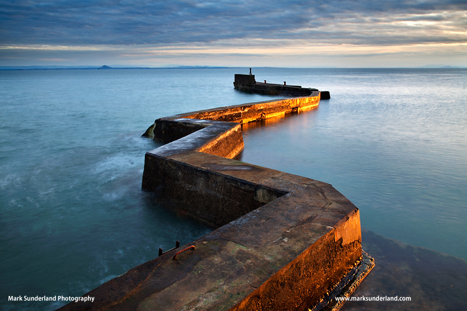
At St Monans it’s worth heading west along the coast path towards Elie first to take a look at the lovely Auld Kirk perched on the clifftop, before heading back into the village and starting the walk proper. You may spot the amazing zig-zag breakwater side-on walking back from the church, but the view above can be had at the harbour, from the top of the sea wall (not recommended in bad weather!). Heading west along the coast path, passing an old windmill – once used as a pump for salt pans (the remains of which can be seen by the path) you’ll soon arrive in the colourful village of Pittenweem.
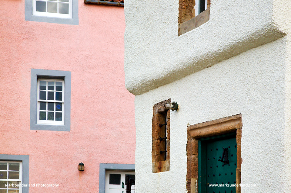
As well as the pretty cottages at the harbour, it’s worth a left turn up the path to St Fillan’s Cave and beyond to another fine church before returning to the path and heading along the coast to Anstruther, the largest of the villages on the walk being the conglomeration of Anstruther Wester and Easter along with Cellardyke.
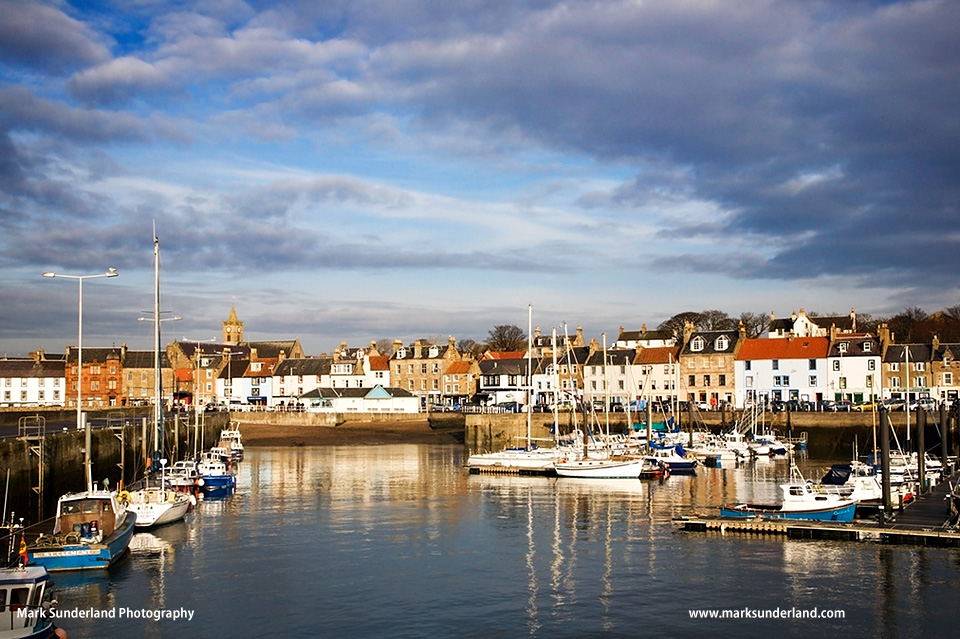
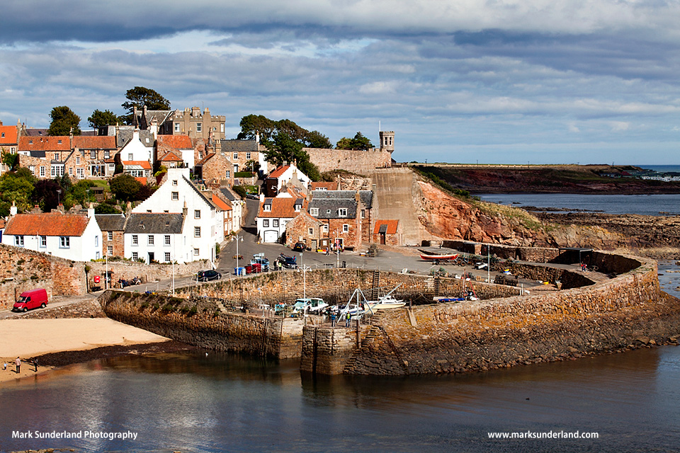
There are pubs and cafes along the seafront by the harbour to stop for a drink and the Anstruther Fish Bar if you’re in need of fish and chips! Further along the seafront before reaching Cellardyke is the interesting Scottish Fisheries Museum. Beyond Cellardyke the path heads out into countryside and hugs the coast all the way to Crail – look out for the lovely view over the stone-walled harbour from the cliff as you approach the village.
Head up to the High Street for the bus service back to St Andrews.
Map: OS Explorer 371 or Landranger 59.
Distance: About 12km/7.5m.
Terrain: Easy and well signposted path.
For a shorter walk, you can finish at Pittenweem or Anstruther, or start at one of these villages and continue to Crail. All of the villages are served by the coastal bus from St Andrews.
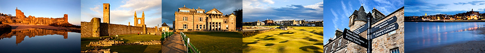
The Fife Coastal path extends for 117m from the Forth Estuary to the Tay Estuary. For more details visit www.fifecoastalpath.co.uk. Photographs supplied by Mark Sunderland Photography.